Kona International Airport
Map / Satellite
The airport is built on a lava field. Just wild!
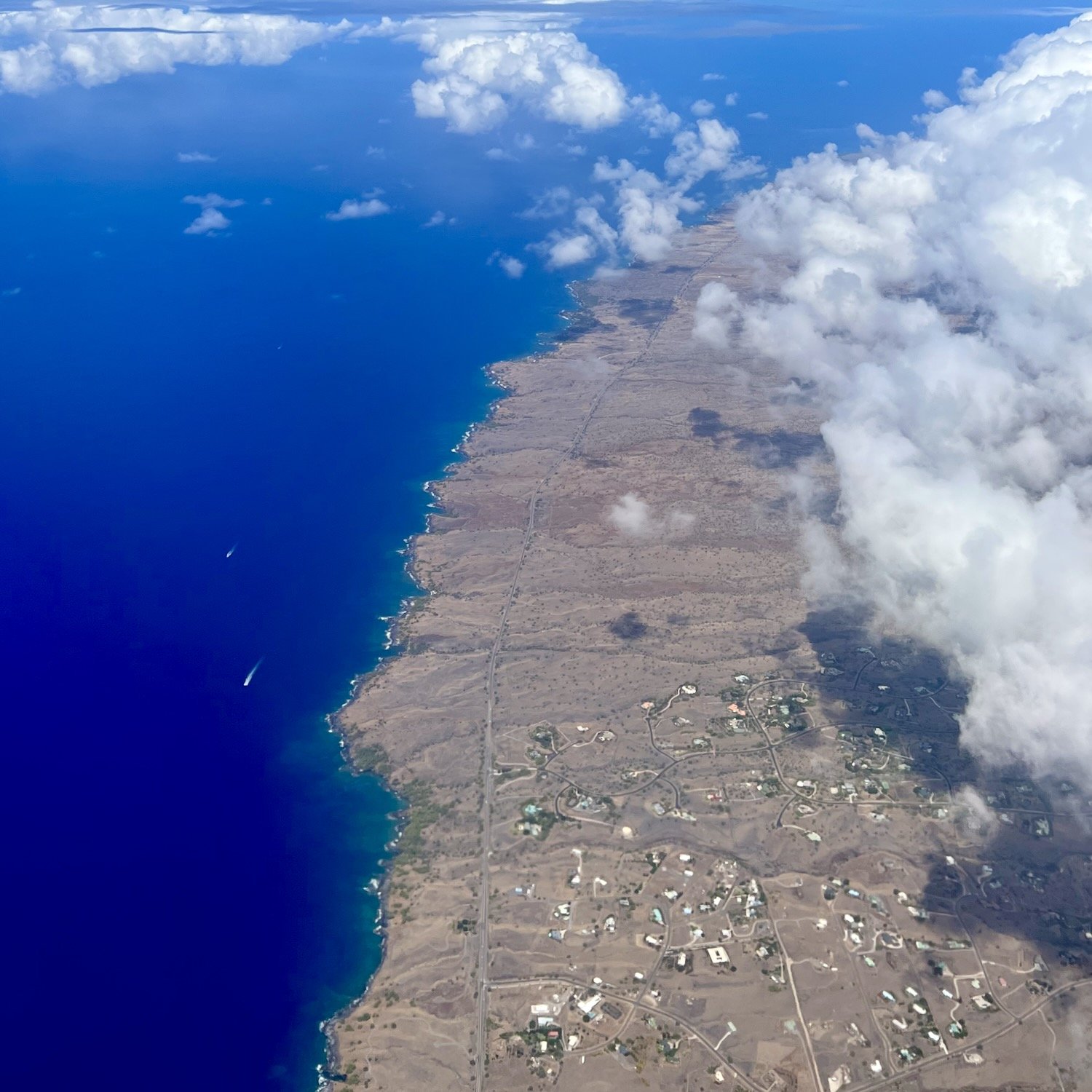
Satellite view of Hawaiian coast via Apple Maps. It’s Amazing to see this from the plane.
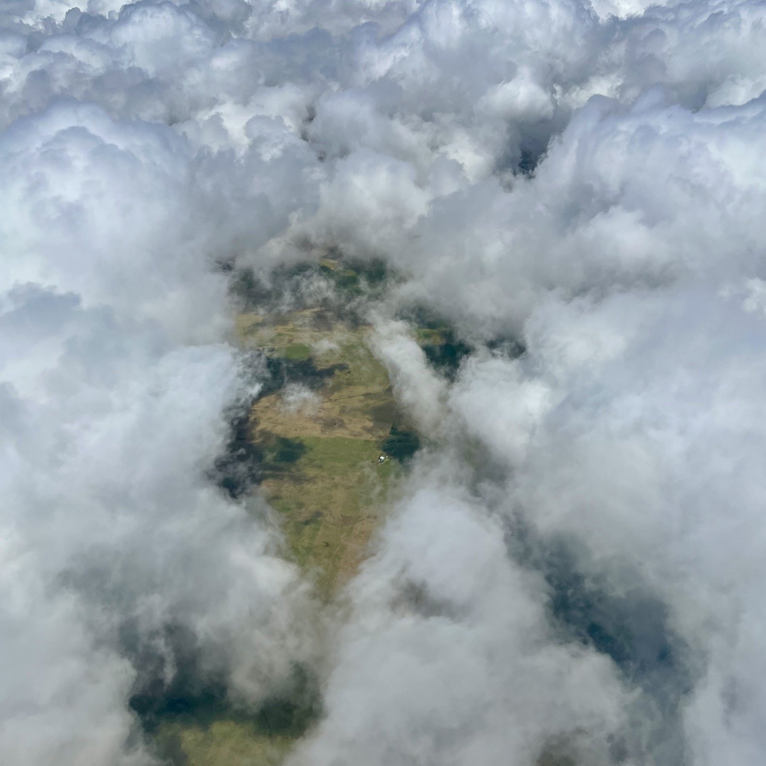
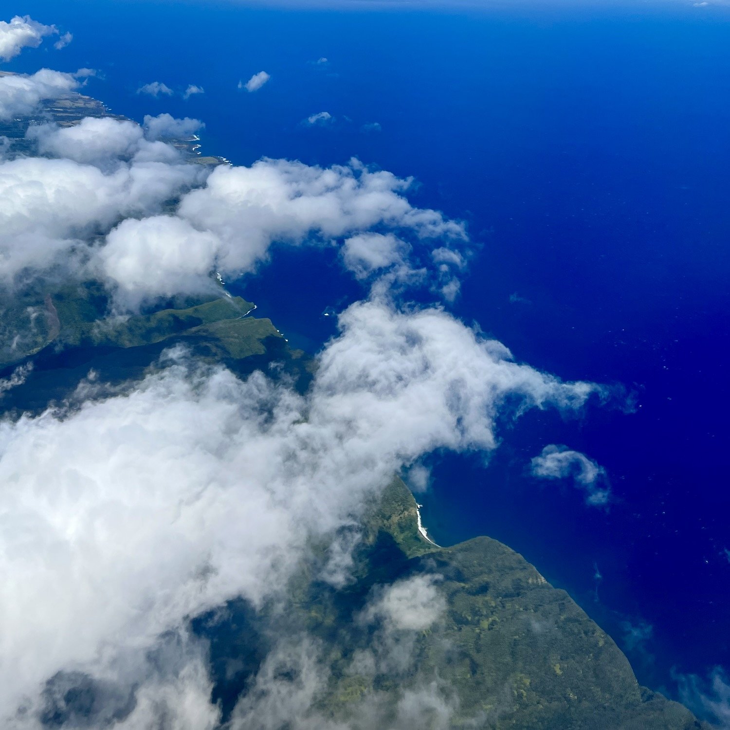
What you’ll see from the pane
A view of one of the Hawaiian Islands from the airplane window.
A view of one of the bays, possibly Kia Bay.




“It’s basically a runway with a hut.”
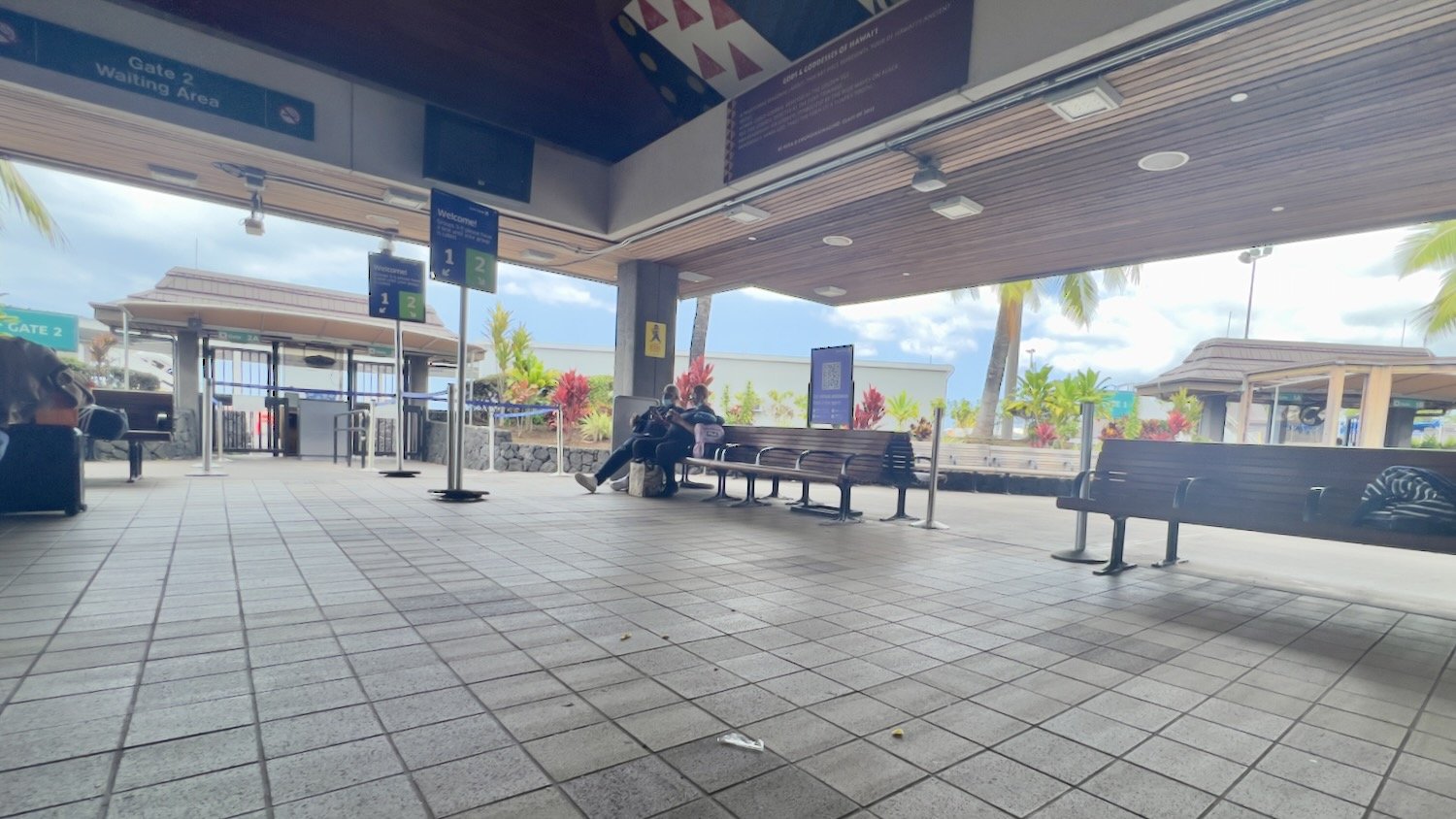
The airport is along the eastern side of the island in Kailua Kona. The gates where you wait to depart are basically large huts… there are no walls. This was such a different feel than any other airport I’ve been to.

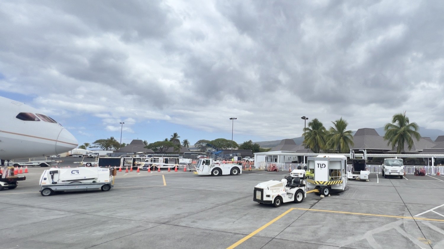
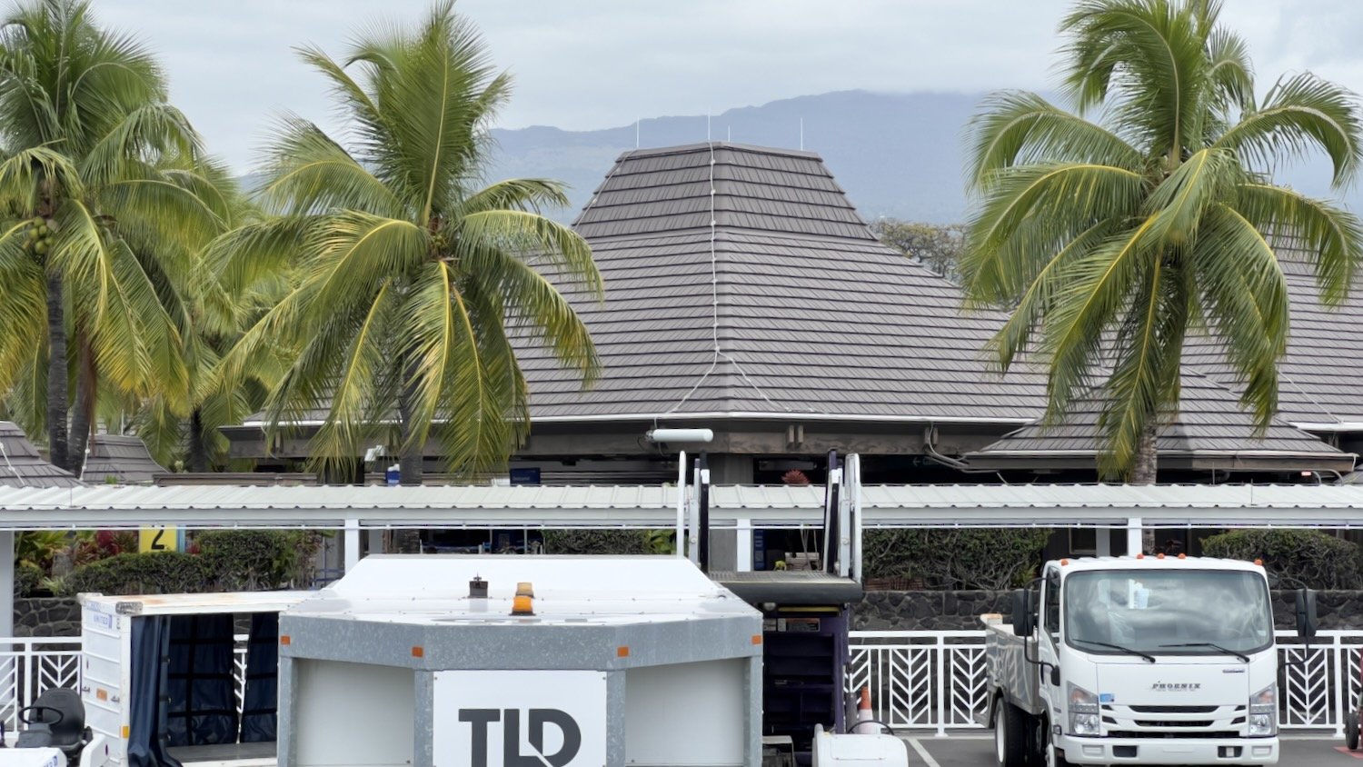
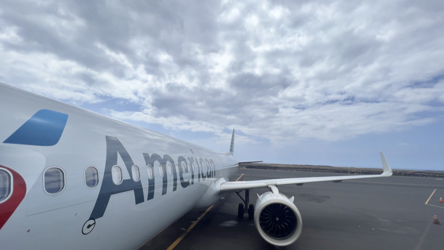
While this airpot is nice, we didn’t have the greatest experience with the staff. My wife and I were seated a few rows up from the kids, which wasn’t an issue… however when exited the plane they kept forcing us to “keep moving”. They were not letting us wait for the kids. With all of the Human Trafficking awareness posters i’ve seen in airports, this was alarming that they did not care when we told them we were waiting for a minor… we had to keep moving for whatever reason. When leaving the Island, our gate had no access to bathrooms.


